In 2019, Water Journalists Africa (WJA) received the first JRS grant to support science and conservation journalism. This three-year project works from the journalist side of scientific communications to bridge the gap between scientists and journalists and to promote data-based journalism about freshwater biodiversity issues in the Nile Basin. Central to this project is the expansion of InfoNile, a geo-journalism platform that combines interactive maps and data visualizations with journalistic storytelling about water issues in the Basin.
Little did we know that the COVID-19 pandemic would become a major player in these stories.
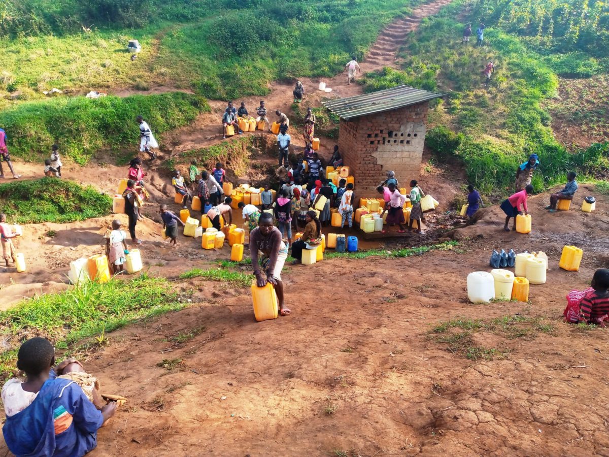
Last week, WJA launched a new interactive map at the Datafest conference in Kampala, Uganda. Their session, “The triple threat of COVID-19, climate change, and a water crisis in the Nile basin: Using data to tell local stories”, trained participants how to use geojournalism tools, create interactive maps, and introduced InfoNile’s Thirst in a River Basin Map. Users can map rainfall and water access data, as well as read stories by local journalists that focus on water problems and solutions compounded by climate change and the COVID-19 pandemic.
WJA’s Annika McGinnis, who is also the co-founder and Director of InfoNile, believes in the power of communicating data to drive action on critical issues such as biodiversity and climate change. “In our digital and data-driven world, journalists must gain the skills to source, communicate, and visualize data to shed light on under-covered issues and hold power-holders accountable,” shares McGinnis. “Our new map is part of our strategy to connect scientists and journalists with the goal to improve communication on freshwater biodiversity conservation in Eastern Africa.”
JRS is excited to continue to support WJA’s work to expand InfoNile and ultimately inspire action to improve water resources management in the Nile basin.


