
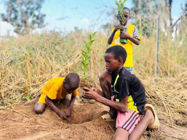
JRS grantee SOS SAHEL continues to demonstrate excellent progress with their project Biodiversity Mapping in Transfrontier Buffer Zones, with the Oubadji-Linkéring project now accounting for approximately 40% of all plant observations in Senegal on iNaturalist. As of early 2026, the project has recorded over 5,000 observations covering 163 species.


In addition, the SOS SAHEL team involved 685 students across eight school clubs, supporting long-term biodiversity awareness and sustainability in the region, and national environmental technical services in Senegal are using the geolocation data for management purposes.

We are also please to share a personal report from one of the young scientists in the field, Issa Laye Thiaw.
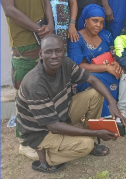
I am a Master’s student in Geography at UCAD (Dakar University in Senegal), specializing in Biogeography, a field I chose because it connects science to the daily life of communities. Over the next year, I will lead a study on the potential and stewardship of wild fruit trees in the Ndiambour Classified Forest Reserve. This work matters to me because fruit trees are not only species to list; they are part of people’s food, income, memory, and identity.
This work will help to understand how local households use, value, and conserve these resources socially, economically, and environmentally and what strategies communities and institutions already deploy to protect them. By documenting these practices clearly, I hope to provide practical insights that communities, foresters, and municipal leaders can use to strengthen conservation and livelihoods.
I will survey households in localities 4–5 km from the forest edge to capture dependence, pressures, and perceptions. I will also interview stakeholders directly involved in stewardship: water & forest rangers, municipal authorities, village chiefs, and local organizations, to map roles, challenges, and opportunities. Finally, I will conduct botanical inventories inside the forest to identify species and estimate the standing potential of wild fruit trees. Together, these methods should produce a coherent picture: how much is there, who uses it, why it matters, and how it is (or isn’t) protected.
I am grateful for your trust. My commitment is simple: to produce reliable, useful results, grounded in good science and the lived realities of the people who know this forest best. Thank you for accompanying me on this path.
Read more about the Biodiversity Mapping in Transfrontier Savannahs of Senegal and Chad project here.